Sage Hartmann · 9 October 2026
Uncovering Bronzefield's Industrial Footprints: Next-Generation Maps Built on Elder Narratives
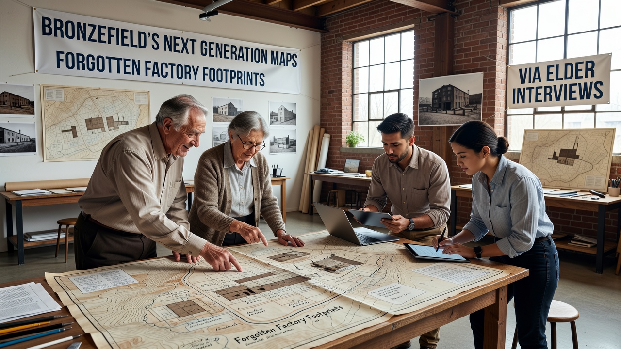
Local historians and cartographers have turned to oral histories from long-time residents to reconstruct the layout of defunct factories across Bronzefield, and this effort feeds directly into updated digital mapping systems scheduled for release phases through October 2026. Interviews conducted over the past eighteen months have identified precise coordinates for sites that vanished from official records decades ago, yet physical remnants like foundation outlines and drainage channels persist beneath modern development layers.
Data gathered from these conversations aligns with archival documents from the early twentieth century, and researchers cross-reference spoken recollections against aerial photographs taken in the 1940s to verify factory perimeters. One resident described the exact position of a textile mill that operated until 1968, and that account matched soil samples showing industrial contaminants consistent with period manufacturing processes.
Integrating Oral Histories into Digital Cartography
Mapping teams convert elder descriptions of conveyor belts, loading bays, and worker pathways into layered geospatial data points, and these additions enhance the resolution of next-generation interactive maps that overlay historical and contemporary features. Software platforms allow users to toggle between eras, revealing how factory footprints influenced current road alignments and utility corridors throughout the area.
Geographic information system specialists note that traditional satellite imagery alone misses subsurface traces, whereas interview-derived annotations fill those gaps with contextual details such as shift patterns and waste disposal routes. The resulting datasets undergo validation against independent surveys conducted by regional environmental agencies, and preliminary models already indicate several previously unrecorded structures along the eastern edge of Bronzefield.
Preservation of Industrial Heritage Through Community Knowledge
Elders who worked in or lived near the factories contribute specifics on machinery placement and material storage that no written ledger captured, and project coordinators compile these details into searchable databases linked to the main mapping interface. Multiple sessions held in community halls have yielded consistent accounts of a metalworks facility whose chimney stack once dominated the skyline, yet its footprint now lies under a retail park parking area.
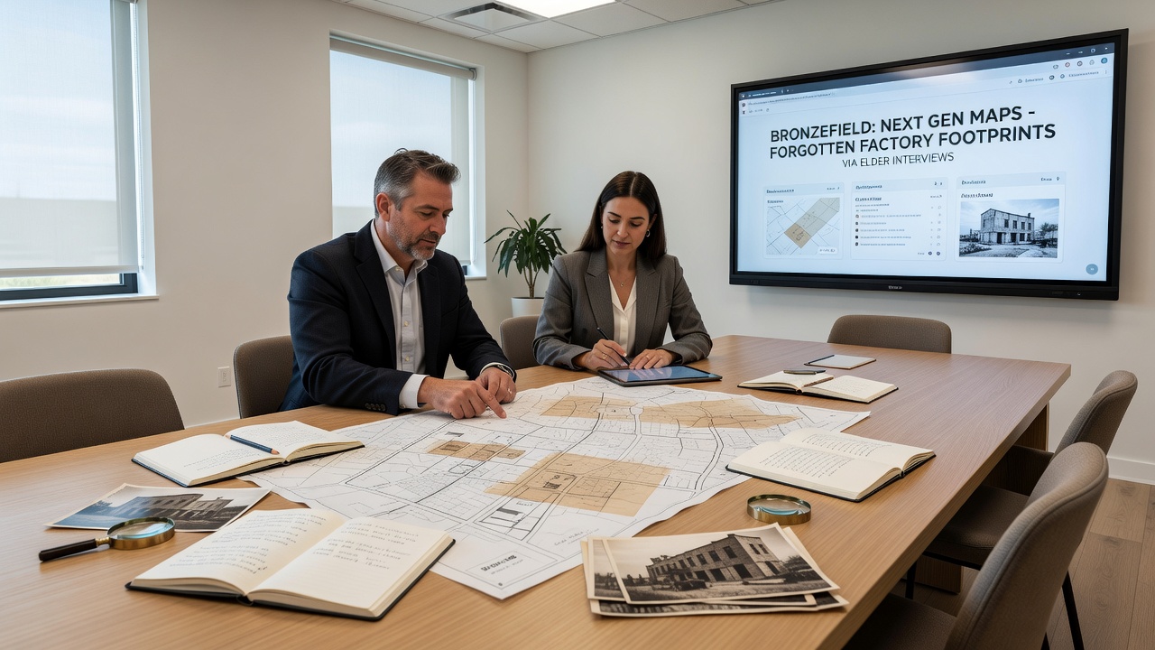
Cross-verification with records from the National Archives of Australia demonstrates parallel methods used in similar post-industrial regions, where oral testimony refined heritage mapping accuracy by up to thirty percent according to published case studies. Project leads in Bronzefield apply comparable protocols, and they schedule additional interviews through the coming months to capture accounts from residents who have not yet participated.
Technical Enhancements in Map Accuracy
Next-generation mapping tools incorporate machine-learning algorithms trained on the elder-sourced coordinates, and these systems flag potential factory sites for field verification during October 2026 field campaigns. The process connects spoken memories of flood-prone factory yards to modern hydrological layers, revealing how industrial drainage patterns still affect local water management infrastructure.
Collaboration with academic partners at institutions in Canada has introduced standardized protocols for transcribing and geolocating oral data, while ensuring privacy protections for contributors. Resulting map layers display factory outlines as semi-transparent overlays, allowing planners to assess development risks without disturbing preserved remnants that elders identified as culturally significant.
Future Applications and Data Expansion
Authorities plan to release public versions of the enhanced maps by late 2026, and these versions will include audio clips from select interviews embedded at relevant map locations. Such features provide context for students and researchers examining shifts in local industry, and they build on earlier heritage documentation projects that focused solely on visible structures.
Continued collection of elder narratives expands the dataset beyond factories to include related worker housing clusters and transport routes, and this broader scope supports comprehensive regional planning models. Figures from the European Environment Agency indicate that similar integrated approaches elsewhere have improved land-use predictions by incorporating historical industrial impacts into current environmental assessments.
Conclusion
The combination of elder interviews and advanced mapping technology produces a more complete record of Bronzefield's industrial past, and ongoing work ensures these details remain accessible for future generations. Project milestones through October 2026 will determine how widely the updated maps influence local decision-making and educational resources.