Lars Jenkins · 23 October 2026
Bronzefield's Young Chroniclers Link Medieval Trade Routes to Today's Shifting Wetlands
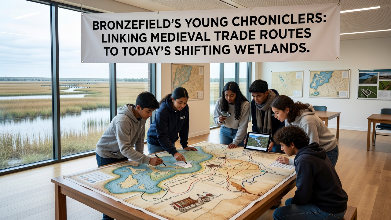
Local youth in Bronzefield have taken on the role of chroniclers to trace connections between medieval trade pathways and the evolving wetland landscapes that define the region today, and their work draws on archival records alongside field observations collected over recent seasons. These efforts highlight how 13th-century routes once carried goods such as wool, salt, and timber through areas that now experience seasonal flooding and habitat shifts driven by changing precipitation patterns.
Medieval Trade Networks in the Bronzefield Area
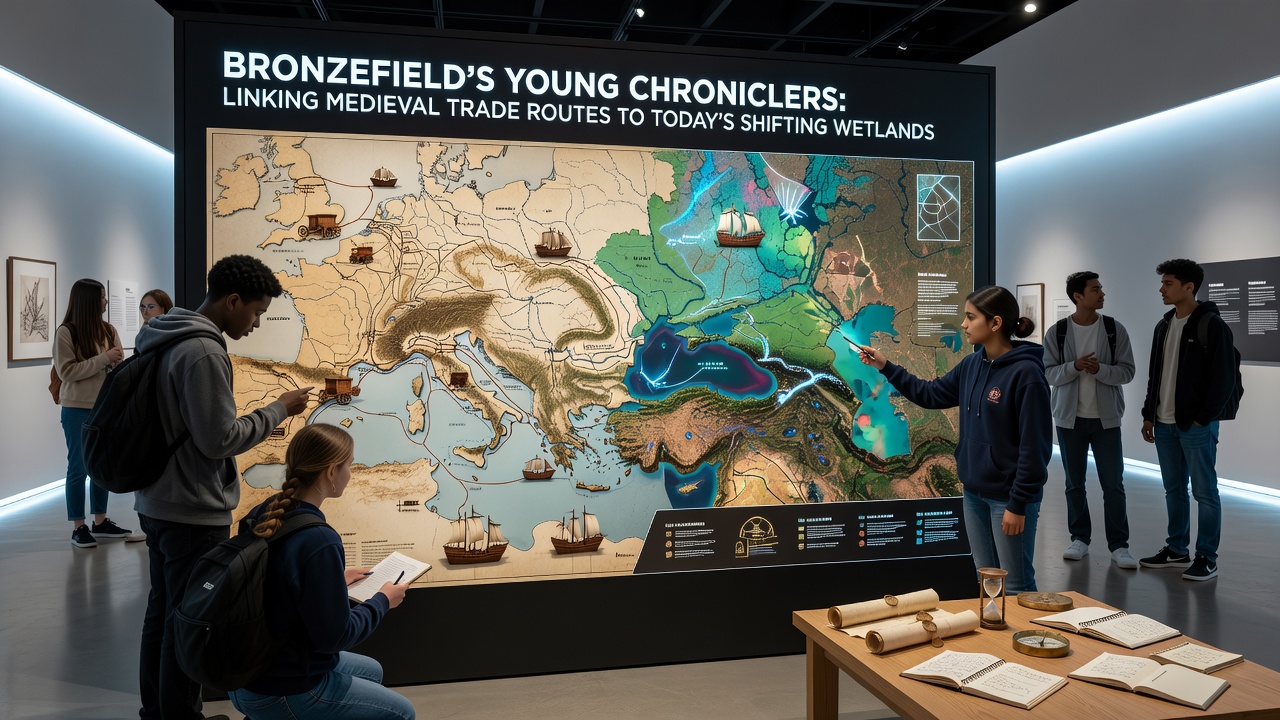
Historical documents preserved in regional archives show that Bronzefield served as a waypoint on routes linking inland markets to coastal ports, with traders navigating raised causeways across marshy ground during the medieval period. Researchers from university history departments have mapped these paths using lidar surveys and soil core samples, which reveal compacted trackways buried beneath current wetland layers. Data from the project indicates that certain route segments aligned with natural drainage channels that later expanded due to land subsidence and increased rainfall recorded since the mid-20th century.
Trade activity peaked around the 1300s when merchants moved livestock and grain across the wetlands using packhorses and small boats, and evidence of these movements appears in toll records and manorial accounts. Observers note that the same low-lying zones prone to inundation today once supported seasonal grazing and reed harvesting that sustained local economies.
Youth Chroniclers Initiative and Methods
The Young Chroniclers program pairs secondary school students with local heritage groups and environmental monitors to document these historical layers while monitoring present-day wetland conditions. Participants conduct interviews with longtime residents, analyze period maps, and collect water level readings at fixed points along former trade corridors. Their compiled notes feed into a shared digital database updated quarterly, which allows cross-referencing of medieval site data with contemporary biodiversity counts.
In October 2026 the group plans to release an interactive timeline that overlays route reconstructions onto satellite imagery of wetland boundaries, and this resource will incorporate measurements gathered during summer fieldwork sessions. Students have already identified several locations where medieval track remnants coincide with areas of accelerated erosion reported in recent hydrological assessments.
Wetland Dynamics and Environmental Records
Shifting wetland boundaries in Bronzefield reflect broader patterns documented across temperate regions, where altered hydrology and sediment deposition reshape habitats over decades. Figures from Environment and Climate Change Canada on similar northern wetland systems indicate that increased winter precipitation correlates with expanded marsh zones, a trend mirrored in local gauge readings. Project data shows bird species such as reed warblers and snipe now concentrate in zones that align with the wetter segments of old trade routes, suggesting continuity in ecological niches despite surface changes.
Soil analysis conducted by the chroniclers reveals layers of medieval charcoal and pottery fragments interspersed with organic peat deposits, confirming that trade traffic occurred on ground that has since become saturated. These findings connect directly to records from the Ramsar Convention on Wetlands, which tracks how historical land use influences modern habitat resilience in comparable European sites.
Integration of Historical and Contemporary Data
Cross-disciplinary collaboration has produced maps that place medieval route markers within current flood-risk zones, allowing planners to consider both cultural heritage and ecological needs when designing access paths. The chroniclers' work demonstrates that areas once used for seasonal markets now host diverse plant communities adapted to periodic inundation, and these communities in turn support invertebrate populations that sustain migratory bird routes.
Academic partners from institutions in Sweden and Australia have contributed comparative datasets on medieval trade corridors in boreal and arid wetland settings, respectively, which helps contextualize Bronzefield findings within global patterns of landscape continuity. Such exchanges occur through shared online repositories rather than direct site visits, keeping the focus on local observations.
Conclusion
The Young Chroniclers project continues to build a layered record that joins 13th-century commerce with 21st-century wetland conditions, and the resulting documentation supports both heritage preservation and habitat monitoring efforts. Ongoing measurements and archive reviews maintain the connection between past routes and present environmental shifts without requiring new infrastructure. This approach leaves primary data collection in the hands of participants who update findings at regular intervals.