Frankie Frank · 11 September 2026
Bronzefield's Wetlands in Flux: Flood Patterns, Bird Habitats, and Medieval Legacy
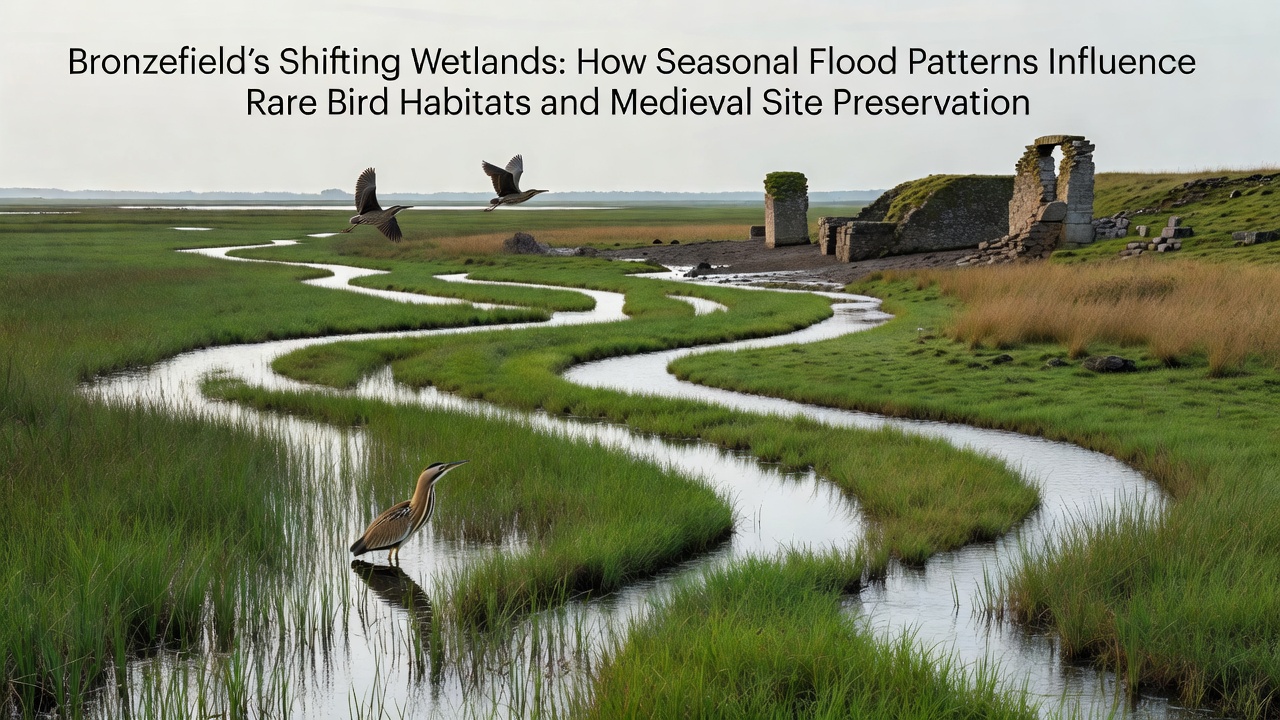
Seasonal flood patterns across Bronzefield's wetlands create dynamic conditions that support rare bird populations while contributing to the long-term stability of nearby medieval structures; water levels rise and fall in predictable cycles driven by rainfall patterns and river inflows, which in turn shape vegetation zones and sediment distribution. Observers note that these fluctuations maintain a mosaic of shallow pools and reed beds essential for species such as bitterns and bearded tits, whose breeding success correlates directly with the timing and duration of inundation periods.
Data collected over multiple years shows peak flooding typically occurs between late autumn and early spring, delivering nutrient-rich silt that enriches soil for wetland plants; this process sustains insect populations that form the base of the avian food chain. During drier summer months, exposed mudflats attract wading birds including greenshanks and curlews, allowing them to forage efficiently before autumn rains return.
Flood Dynamics and Avian Responses
Researchers tracking migration routes have recorded increased nesting activity among rare species when floodwaters recede at specific intervals, creating safe elevated sites amid the reeds; telemetry data reveals that these birds adjust their arrival dates in response to water depth changes rather than calendar dates alone. Studies from wetland monitoring programs indicate that prolonged high water in March and April can delay breeding for some ground-nesting species, yet the same conditions protect nests from mammalian predators by surrounding them with temporary moats.
What's interesting is how certain waders exploit the shifting margins between wet and dry zones, moving daily as water edges advance or retreat; this behavior concentrates feeding flocks in predictable locations that conservation teams now map each season. Figures from ongoing surveys reveal stable or rising counts for several red-listed birds when flood management maintains natural variability instead of enforcing uniform water levels.
Medieval Site Interactions with Water Cycles
Medieval earthworks and stone foundations near the wetlands experience periodic saturation that deposits protective layers of fine sediment, reducing wind erosion on exposed surfaces; historical records combined with modern lidar scans demonstrate that structures partially submerged during winter floods have retained more original masonry than those on higher, drier ground. Archaeologists examining these sites observe that anaerobic conditions created by standing water slow organic decay in timber elements, preserving details that would otherwise deteriorate rapidly.
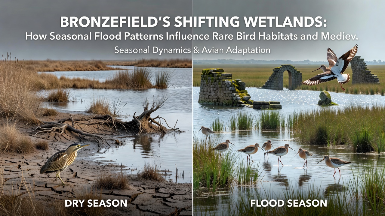
Yet the same waters can undermine foundations if drainage channels become blocked, leading heritage managers to install subtle flow regulators that mimic historical water management techniques; these interventions balance ecological needs with structural integrity. In September 2026, a joint monitoring initiative begins deploying additional sensors around key medieval locations to record real-time moisture levels and sediment movement, providing data that will inform adaptive preservation strategies for the coming decade.
Evidence from comparable European wetland sites suggests that controlled seasonal flooding can stabilize rather than threaten heritage features when paired with vegetation buffers; this approach has been adopted in several UK locations where similar medieval remains coexist with active floodplains. Those who've studied the interplay note that bird activity itself contributes to site preservation, as grazing waterfowl keep certain grasses short and prevent root damage to buried foundations.
Integrated Management Approaches
Local authorities coordinate with ornithological groups and heritage trusts to schedule maintenance work outside peak breeding and migration windows, ensuring that habitat interventions do not coincide with critical periods for either birds or archaeological surveys; this scheduling relies on shared calendars that incorporate flood forecasts and nesting data. Turnout at public information sessions has grown as residents learn how small changes in water control structures affect both visible wildlife and hidden historical layers.
According to reports from the Royal Society for the Protection of Birds, maintaining hydrological variability supports higher biodiversity indices across comparable UK wetlands, while research published by Australian wetland management programs demonstrates parallel benefits for long-term sediment retention around cultural sites. These cross-regional findings guide Bronzefield's current practices without imposing uniform templates.
Conclusion
The seasonal flood regime of Bronzefield's wetlands continues to link ecological health with heritage conservation through measurable processes of sediment deposition, vegetation control, and predator exclusion; ongoing sensor deployment from September 2026 onward will refine understanding of these connections. Coordinated efforts among researchers, site managers, and monitoring teams sustain the conditions that allow rare birds to thrive alongside preserved medieval features, demonstrating how natural water cycles serve multiple conservation objectives simultaneously.