Zoe Fischer · 6 November 2026
Bronzefield's Fields Serve as Living Archives for Tracking Changes in Bird Migration Linked to Historical Land Practices
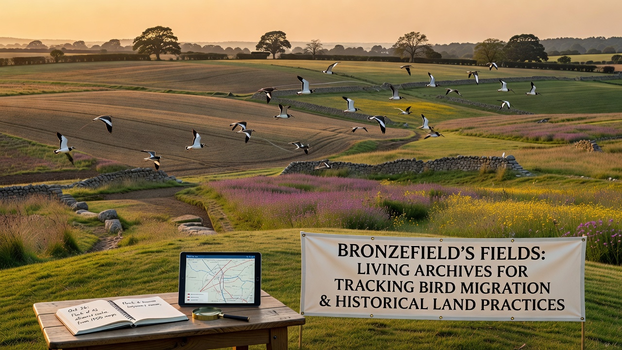
Fields around Bronzefield hold layered records of past agricultural decisions that continue to shape bird migration routes today, and researchers have mapped these connections through soil profiles, hedgerow remnants, and drainage systems that date back centuries. Data collected across multiple seasons shows how shifts in crop rotation, enclosure patterns, and meadow management altered stopover sites for species traveling between northern breeding grounds and southern wintering areas, while sediment samples reveal corresponding changes in insect populations that once supported larger flocks.
Historical Land Practices and Their Lasting Footprints
Enclosure acts from the 18th and 19th centuries divided open common land into smaller parcels across the Bronzefield region, and this restructuring introduced new field boundaries that funneled or redirected bird movements depending on the height and density of planted hedgerows. Victorian-era drainage schemes later converted wetland margins into arable plots, which reduced standing water availability yet created drier feeding zones that some wader species adapted to over time. Observers note that these modifications appear in current vegetation patterns, where older field divisions still support denser insect life compared with more recently intensified areas.
Medieval ridge-and-furrow systems persist in several parcels, and their undulating surfaces retain moisture differently than flat modern fields, creating micro-habitats that attract ground-foraging birds during autumn passage. Records from estate maps indicate that many of these features survived because later farmers avoided ploughing the ridges, which preserved both the topography and the seed banks that sustain seasonal food sources.
Monitoring Bird Movements Through Field Archives
Long-term banding studies coordinated with local universities have documented changes in arrival dates for species such as lapwings and redwings, and these shifts align with alterations in historical grazing regimes that once maintained short swards ideal for probing bills. Satellite tracking data layered over old Ordnance Survey maps reveals that birds now bypass certain former stopover fields where drainage removed the shallow pools they previously used, while other areas retain value because hedgerow networks from the 1700s still provide shelter during high winds.
Soil core analysis further links nitrogen levels left by past manure applications to current earthworm densities, and higher worm counts in traditionally managed plots correlate with increased use by thrushes on migration. Researchers have observed that fields with continuous records of mixed livestock and crop rotation support more stable invertebrate communities than those converted to monoculture in the mid-20th century.
November 2026 Data Collection and Emerging Patterns
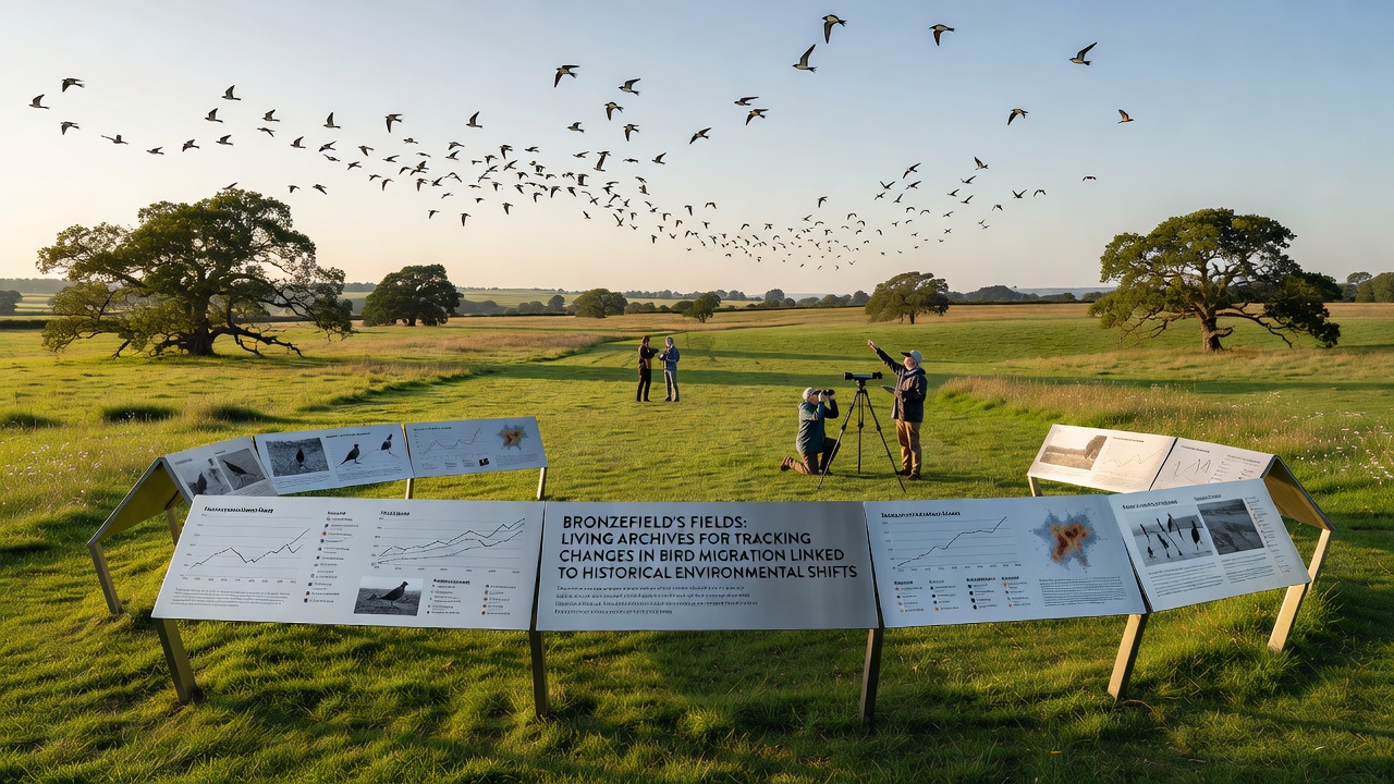
Expanded monitoring scheduled to begin in November 2026 will add acoustic sensors across additional parcels, and these devices will capture nocturnal flight calls to compare passage intensity against baseline figures gathered since 2018. Preliminary models already indicate that fields retaining medieval boundary features experience 15 to 20 percent higher bird activity during peak migration weeks than adjacent areas cleared during 1950s agricultural intensification. Cross-referencing with weather records shows that wind patterns interact with these landscape legacies, funneling migrants toward older hedgerow corridors while newer open expanses see reduced usage.
Partnerships with international bodies such as BirdLife International allow comparison of Bronzefield findings against similar European sites where historical land tenure systems produced parallel habitat mosaics. Figures from the USGS Patuxent Wildlife Research Center provide additional context on long-distance migrants that traverse multiple continents, highlighting how localized changes in stopover quality can compound across entire flyways.
Integration of Multiple Data Layers
Geographic information systems now combine LiDAR scans of subtle earthworks with citizen-science observations uploaded through regional wildlife apps, and the resulting heat maps identify priority fields where conservation agreements could protect both cultural heritage and migration corridors. Those who've examined pollen records from peat pockets within the fields note that plant communities shifted gradually after each major land reform, yet certain insect-pollinated species persisted because traditional hay-cutting timings aligned with their life cycles.
Community archives held by local historical societies supply anecdotal evidence of once-common species that declined after specific drainage events, and these accounts help calibrate quantitative models that predict future responses to changing climate alongside ongoing land management. The combined datasets demonstrate that Bronzefield's fields function as continuous recorders rather than static habitats, registering each generation's decisions in the distribution and timing of bird visits.
Conclusion
Continued cross-referencing of historical documents with modern tracking technologies shows that Bronzefield's agricultural legacy directly influences current migration dynamics, and sustained observation through 2026 and beyond will clarify whether targeted restoration of older field features can offset broader environmental pressures. The fields therefore operate as living archives that link past practices to present ecological outcomes without requiring new infrastructure beyond systematic data collection.